
UAV Solutions

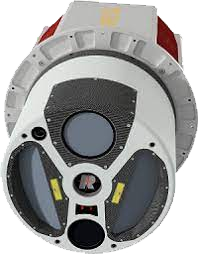
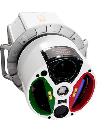
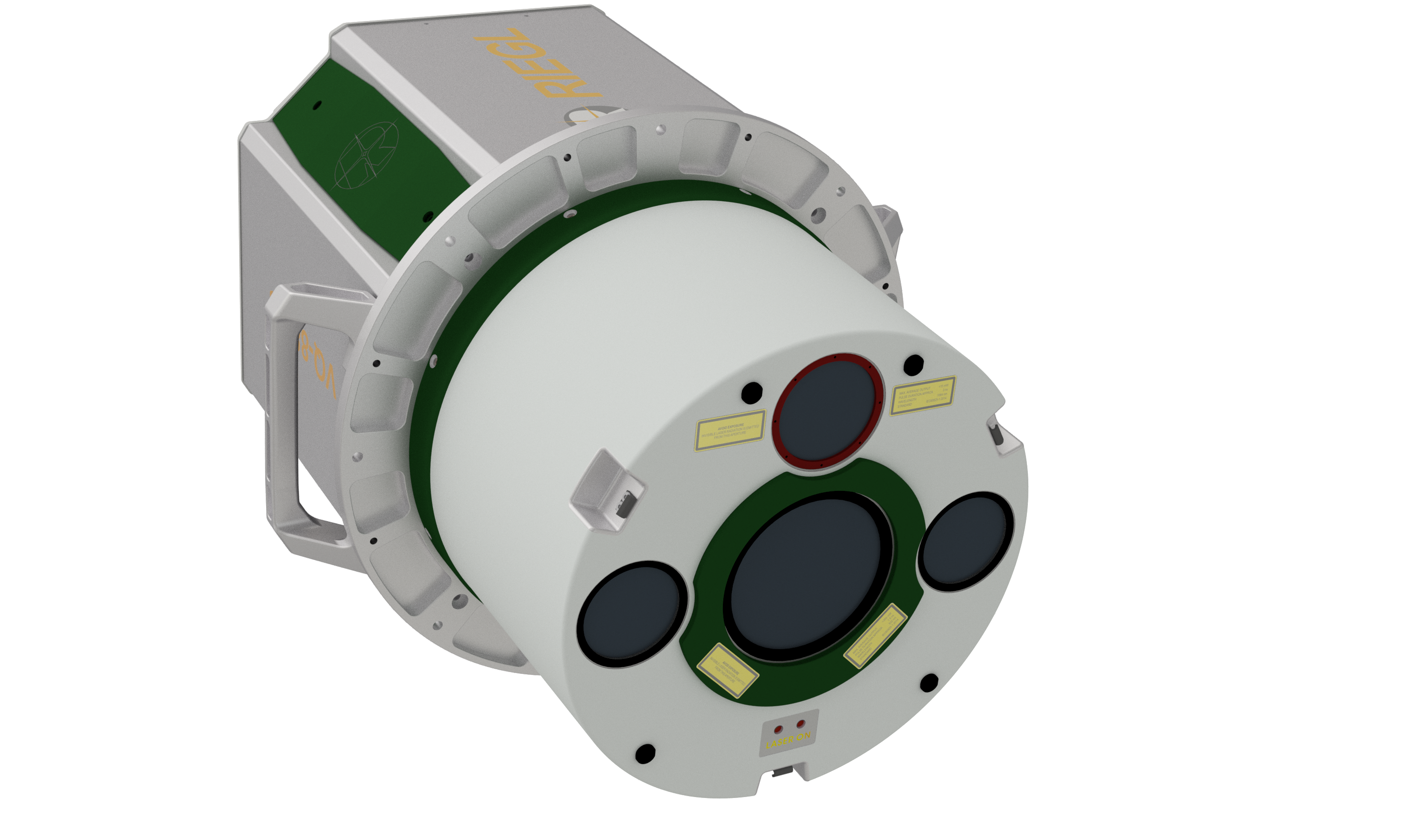
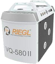
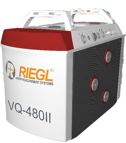
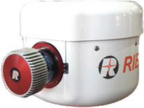
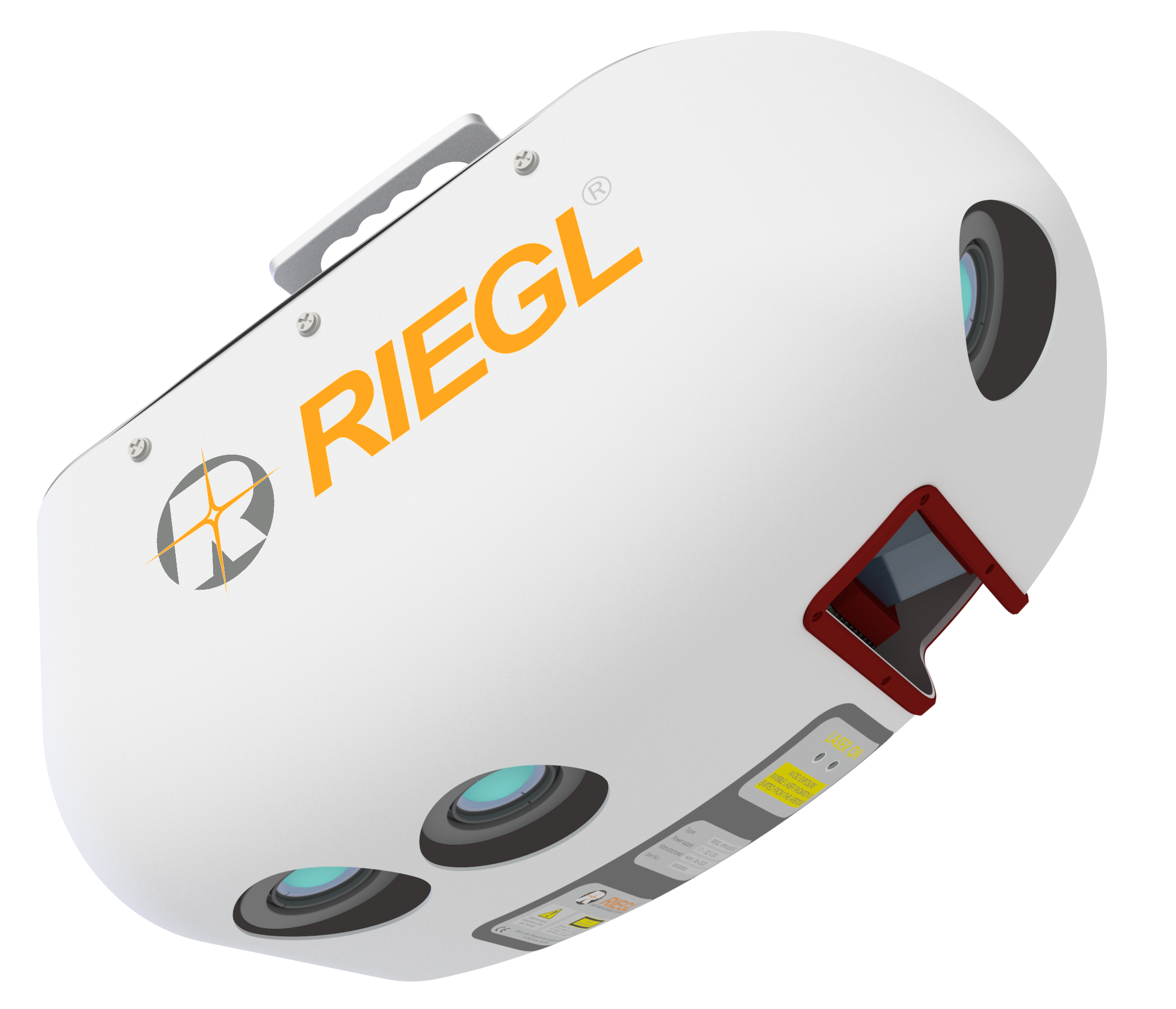
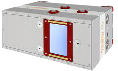
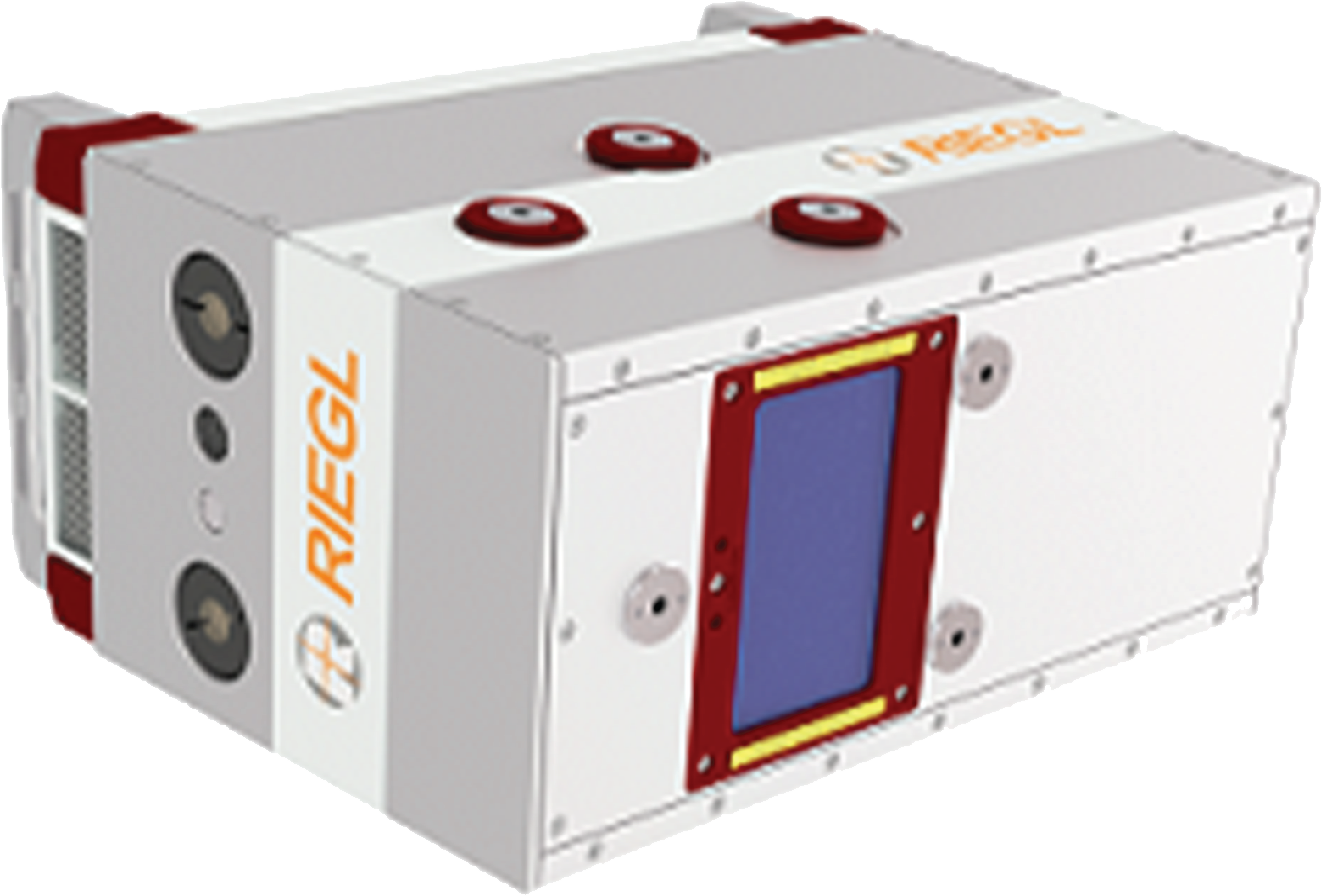
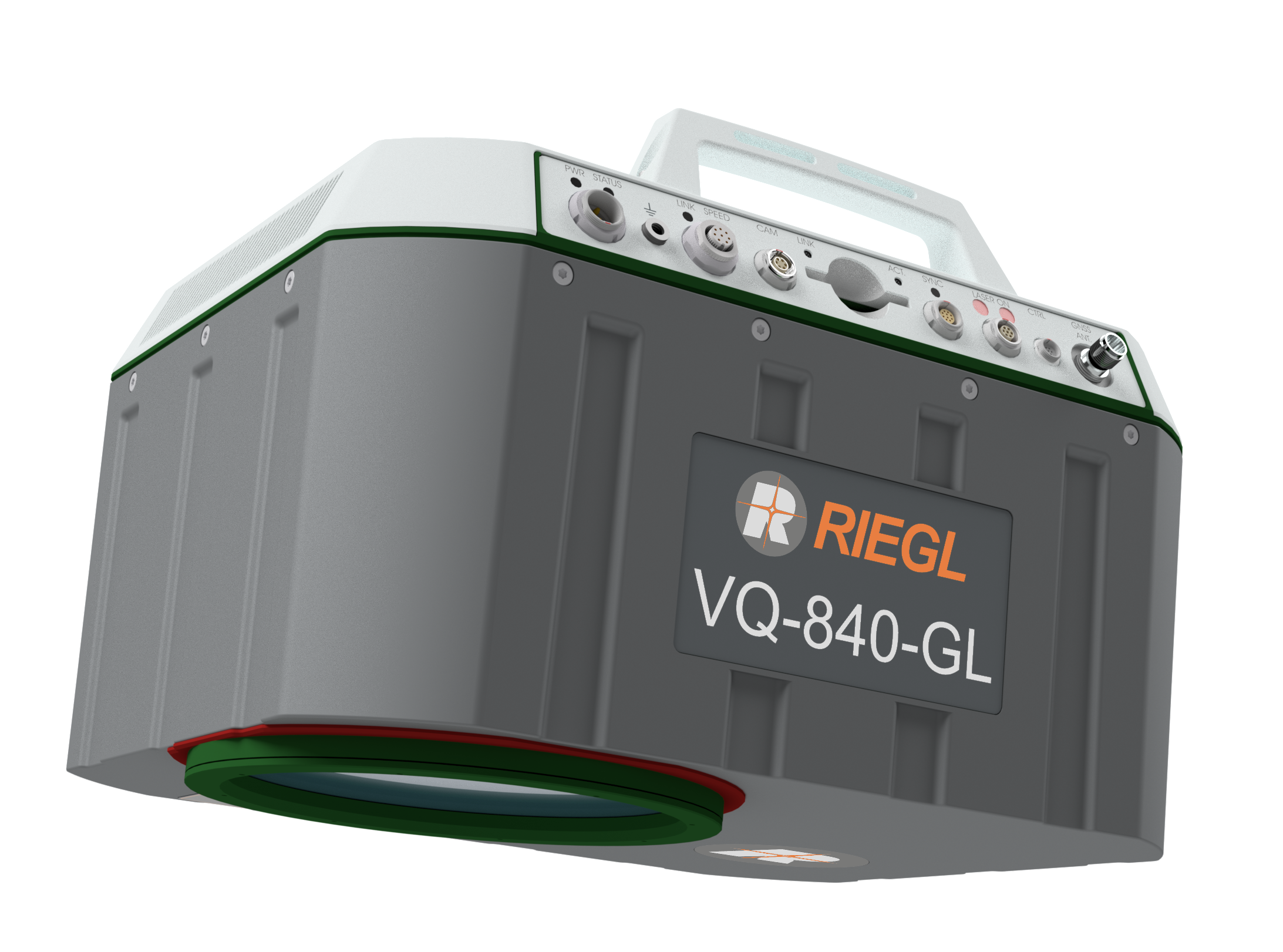
Meet the VQ-1460, RIEGL's advanced airborne laser scanning system for efficient mapping. It offers regular point spacing, large measurement distances, and advanced optical tech. With online waveform processing, data storage on removable hard disks, and integrated IMU/GNSS, it's perfect for various mapping needs.
Introducing RIEGL's VQ-1260, an advanced airborne laser scanning system, ideal for diverse mapping needs. Features include regular point spacing, large measurement distances, and advanced optical technology. With high-efficiency area acquisition capabilities, it's perfect for various applications.
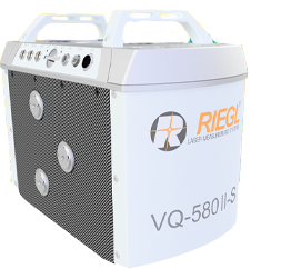
Introducing the RIEGL VQ-580 II-S: a compact laser scanner for mapping. With a max range of 2,450m, it's ideal for medium, wide, and corridor mapping. Easily integrated into gyro-stabilized mounts and the VQX-1 Wing Pod for aerial mapping.
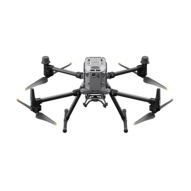
An upgraded flagship drone platform, the Matrice 350 RTK sets a new benchmark for the industry. This next-generation drone platform features an all-new video transmission system and control experience, a more efficient battery system, and more comprehensive safety features, as well as robust payload and expansion capabilities. It is fully powered to inject innovative strength into any aerial operation.
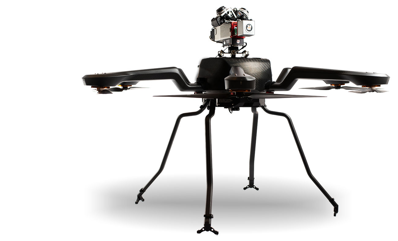
Acecore NOA: Professional-grade drone with Acecore motors, Orange/Blue Cube autopilot, and Tattu power options (11,000A-23,000A). Flight time up to 60 mins, wind resistance of 28 knots, MTOW 36.9 kg (81.18 lbs), with a lighter version available. Payload capacity: 20 kg, datalink range: 16 km (9.9 mi). Built with true carbon fiber for durability.
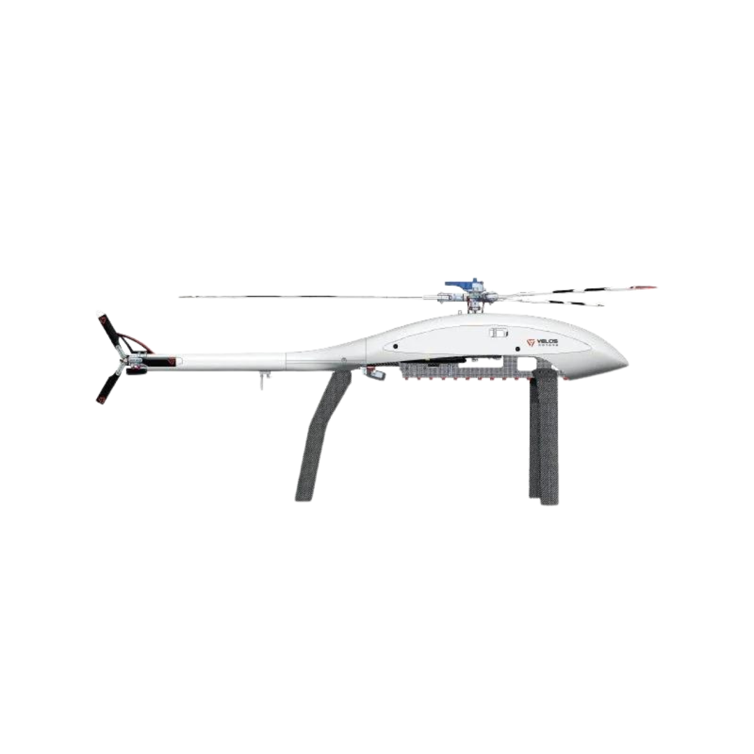
The IP65-rated, fully redundant design of the Velos V3 allows for a high-capacity payload and multi-sensor options making it a reliable UAV helicopter option. The design of the Velos V3 with its powerful twin-motor drive train and 30-mile control range offers reliability and scalability for any civil or commercial application. The payload over rotor (POR) option also allows for the addition of a ballistic parachute or other sensor options. The V3’s stable governor logic has CAN bus support, which has been tested exhaustively with Here2 and Here3.
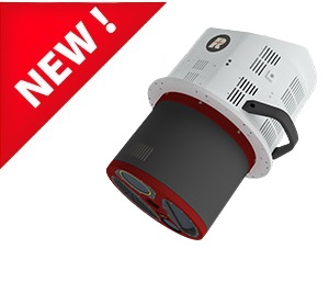
The NEW Riegl VQ-1560 III-S is the latest successor in the proven dual channel laser scanning system series, suitable for a wide field of applications in airborne mapping. It has a high pulse repetition rate of up to 4.4 MHz that enables an operational flying altitude of up to 1,600 m AGL, or up to 3,900 m AGL at a pulse repetition rate of 560 kHz. The NEW Riegl VQ-1560 III-S has up to 2.93 million measurements per second on the ground.
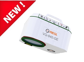
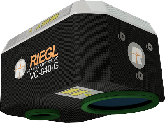
The NEW RIEGL VQ-840-GE is a fully integrated compact airborne laser scanner for combined topographic and bathymetric surveying. Typical applications include coastline and shallow water mapping, river surveying, and repeated survey of water reservoirs.

CarryAir is a compact, single-operator VTOL aircraft designed for rapid deployment in under 2 minutes. Extremely versatile with robust performance, waterproof load protection, and a 60-liter all-purpose cargo volume. Lightweight, easy to assemble, and ideal for a wide range of field applications. With its innovative design and portability, CarryAir is ready to take off whenever and wherever needed.
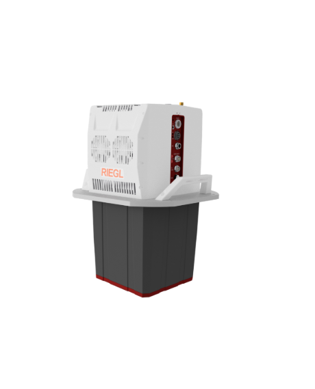
The VQ-680 is a compact airborne laser scanner optimized for urban mapping, forestry and power line survey applications – or wherever high-precision, high-accuracy surveying of complex environments are required. The scanner’s vertical design and small aperture dimensions enable a compact integration with digital cameras in combination with a gyro-stabilized mount, for installation into typical aircraft hatches.
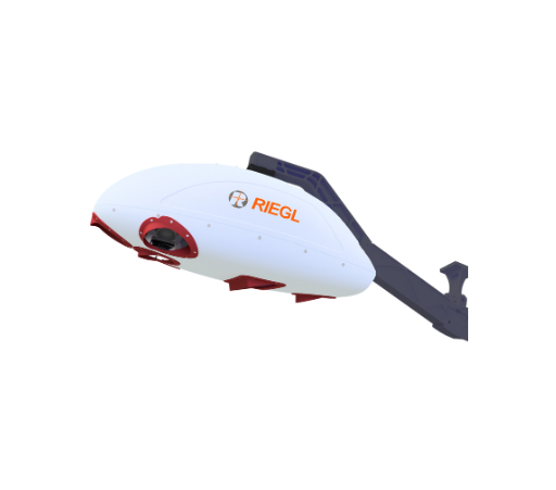
The RIEGL VQX-2 Helicopter Pod is a lightweight and streamlined pod that offers space for the integration of larger laser scanners and additional sensors.
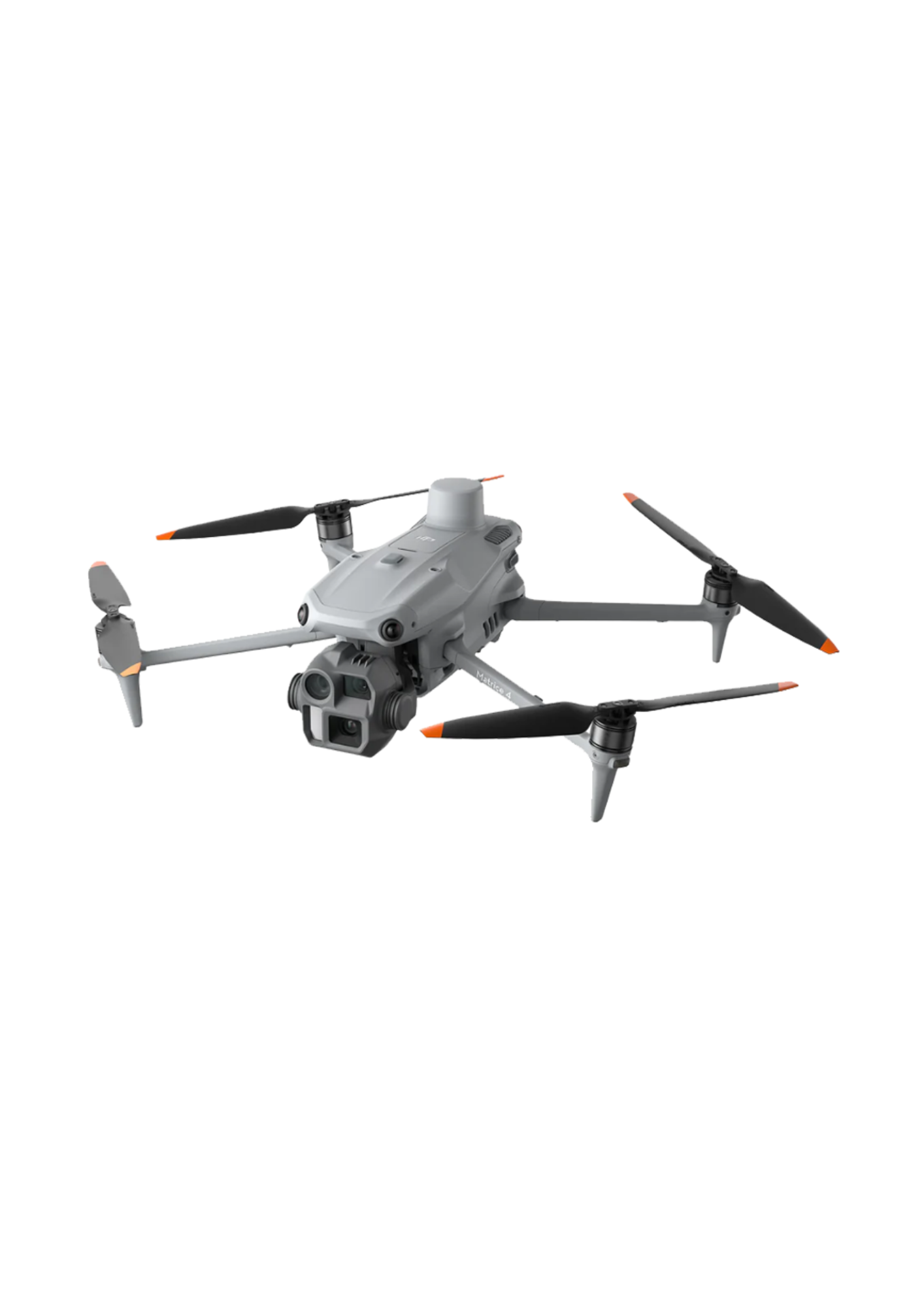
Introducing the DJI Matrice 4 Series, a new compact and
intelligent enterprise-class multi-sensor drone series. The series includes
Matrice 4T and Matrice 4E, each equipped with advanced features such as
intelligent detection and measurement with laser rangefinder. Flight operations
are now safer and more reliable thanks to significantly improved sensor
functions. The accessories for the Matrice 4 series have also been
significantly improved. The Matrice 4T is suitable for a wide range of
industries, including electricity, emergency utilities, public safety, and
forestry. The Matrice 4E is designed for geospatial applications such as
surveying and mapping, construction and mining. A new era of intelligent air
use begins now.
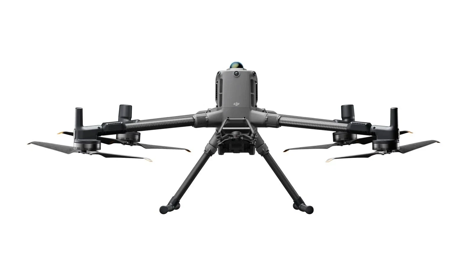
The DJI
Matrice 400, the flagship enterprise drone platform, boasts an impressive
flight time of 59 minutes [1], a payload capacity of up to 6
kg [2], an integrated, rotating LiDAR and the mmWave radar –
for a level of detection up to the high-voltage line [3]. In
addition, the O4 Enterprise Enhanced video transmission system and the airborne
relay video transmission ensure [4] both for safer
handling and easier operation. Combining intelligent detection with visual and
thermal imaging, AR projection, ship-ready takeoffs/landings, and advanced
automation, the Matrice 400 excels in a wide range of tasks, whether emergency response,
power line inspection, mapping, or AEC.
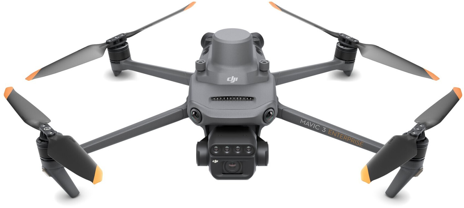
Effective
aerial surveying must be able to see the invisible. That's why the Mavic 3
Multispectral has multiple cameras to give them multiple views. It combines an
RGB camera with a multispectral camera to scan and analyze plant growth with
absolute precision. Precision agriculture requires relevant details and data,
and the Mavic 3M delivers both.