Blog
What is Geospatial Technology and Why is it Important?

Introduction
Geospatial technology refers to the collection, analysis, management, and visualization of location-based data to better understand the physical world. It combines advanced surveying, mapping, and digital technologies to capture accurate information about land, infrastructure, buildings, and natural environments.
Today, geospatial technology plays a critical role in planning, engineering, construction, asset management, and environmental monitoring by providing reliable spatial information for informed decision-making.
Why is Geospatial Technology Important?
Accurate spatial data is essential for modern projects. Organizations rely on geospatial technologies to understand existing conditions, improve planning accuracy, and manage assets more effectively.
Key benefits include:
- Improved project planning
- Accurate measurements and mapping
- Reduced project risks
- Faster data collection
- Better decision-making
- Enhanced asset management
- Increased operational efficiency
From infrastructure development to digital transformation initiatives, geospatial technology helps organizations make decisions based on accurate and reliable data.
Key Geospatial Technologies
Modern geospatial projects utilize a variety of technologies to capture and manage spatial information.
Land Survey
Land surveying provides precise measurements of land boundaries, elevations, and site features. It forms the foundation for engineering, construction, and development projects.
3D Scanning
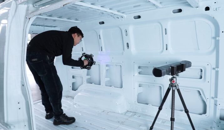
3D scanning captures highly detailed digital representations of physical environments. The technology enables accurate measurements, documentation, modeling, and analysis of existing conditions.
Scan to BIM
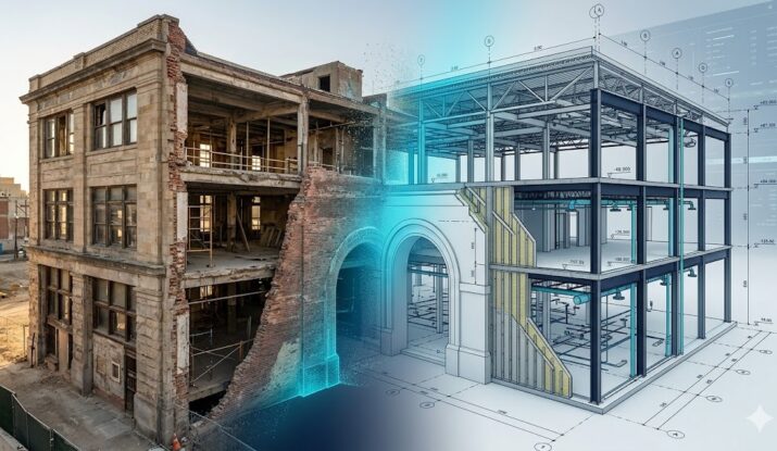
Scan to BIM converts reality capture data into intelligent Building Information Models (BIM), supporting design, renovation, facility management, and construction workflows.
Aerial Mapping
Drone-based aerial mapping allows rapid collection of high-resolution spatial data across large areas, improving efficiency and project visibility.
Topobathymetric Survey
Topobathymetric surveys combine land and underwater measurements to create seamless terrain and depth models for coastal, river, and infrastructure applications.
Digital Twin Solutions
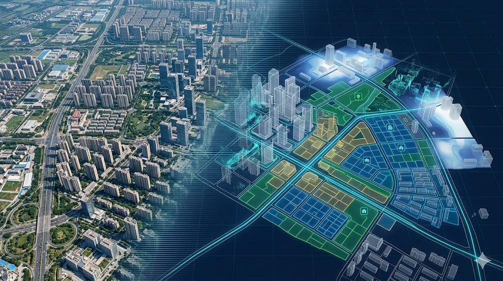
Digital twins create dynamic virtual representations of physical assets, enabling visualization, monitoring, planning, and lifecycle management.
How Binaco Supports Geospatial Projects
Binaco provides advanced geospatial solutions designed to help organizations capture, manage, and utilize spatial data effectively.
Our geospatial services include:
- Land Survey
- 3D Scanning
- Scan to BIM
- Aerial Mapping
- Topobathymetric Survey
- Digital Twin Solutions
By combining modern surveying techniques with advanced digital technologies, we deliver accurate and reliable geospatial information that supports project success.
Conclusion
Geospatial technology has become an essential part of modern engineering, construction, infrastructure, and asset management projects. Through accurate data collection, mapping, and digital modeling, organizations can improve planning, reduce risk, and make informed decisions.
Whether you require land surveying, 3D scanning, aerial mapping, Scan to BIM, topobathymetric surveys, or digital twin solutions, geospatial technologies provide the foundation for smarter and more efficient project delivery.
Explore our Geospatial Services to learn how Binaco can support your next project.