
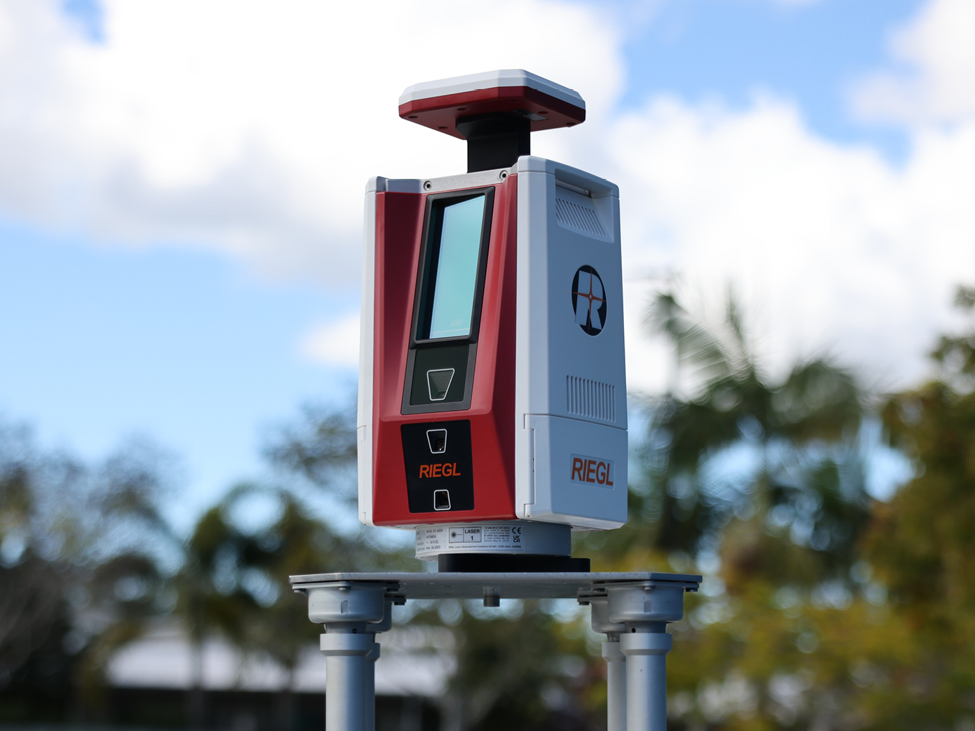
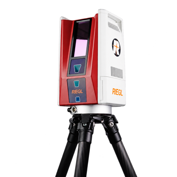
RIEGL VZ-600i High Performance 3D Terrestrial Laser Scanner
Price Available Upon Request
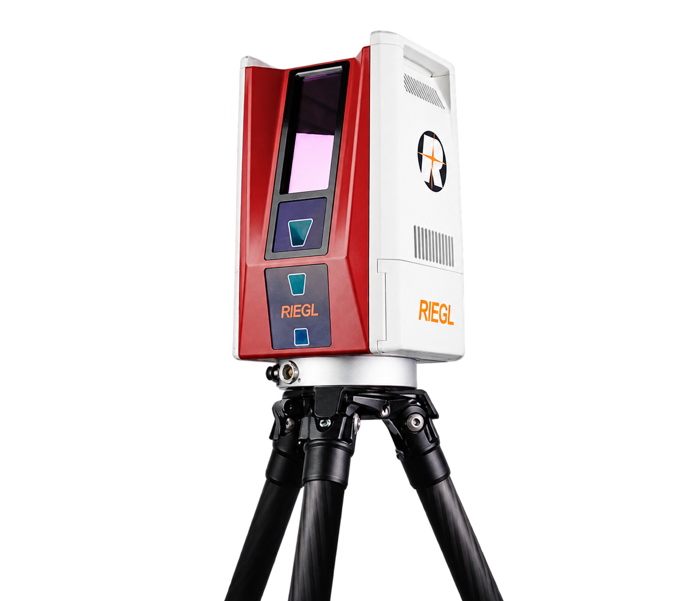
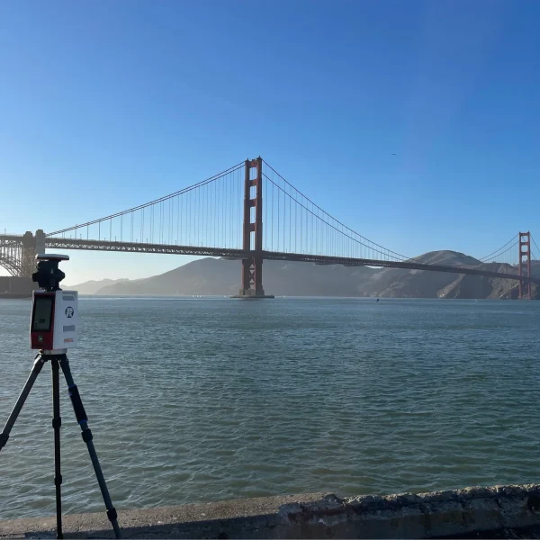
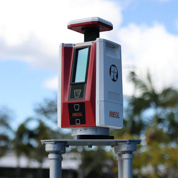
The RIEGL VZ-600i is a high-performance terrestrial 3D laser scanner for indoor and outdoor mapping, offering a measurement range from 0.5 m up to 1000 m, 3 mm 3D position accuracy at 50 m, laser pulse repetition rates up to 2.2 MHz, and scan speeds up to 420 lines/sec. It combines real-time on-board registration, integrated cameras and GNSS, fast scan acquisition, and support for mobile mapping applications.
Product Overview
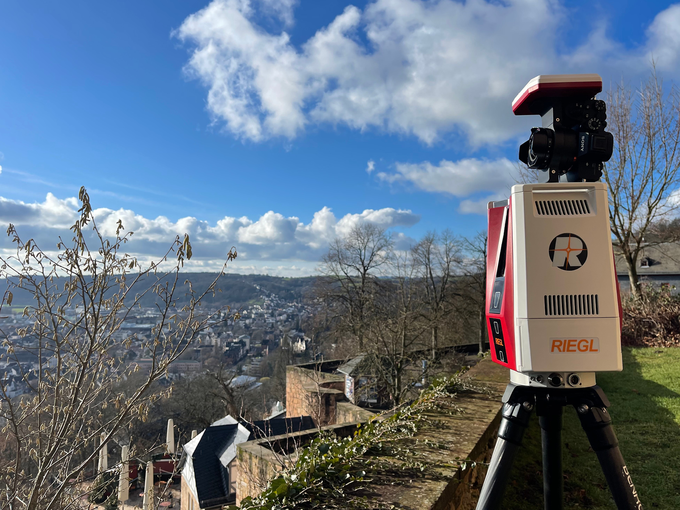
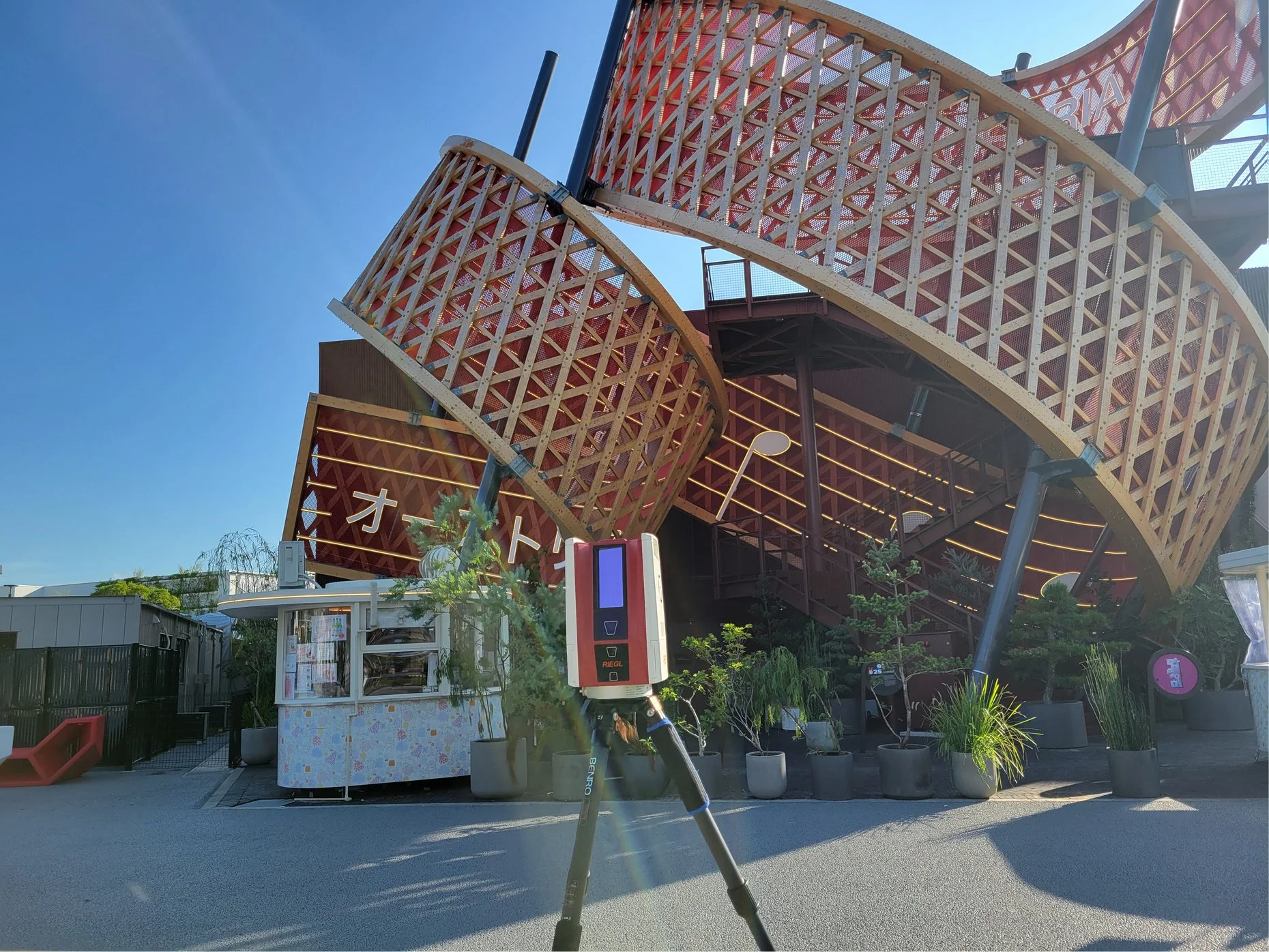
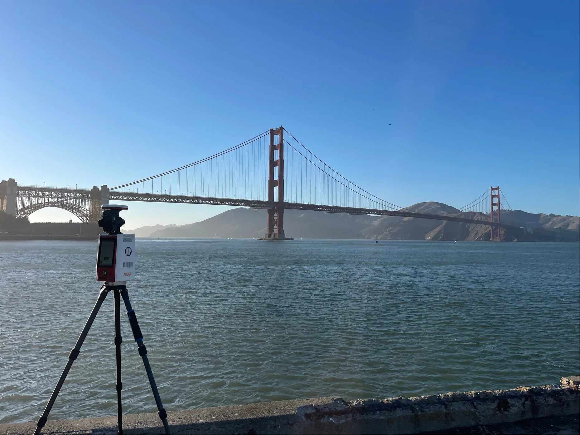
The RIEGL VZ-600i is a high-performance 3D terrestrial laser scanner designed for versatile indoor and outdoor 3D mapping applications. It provides a broad measurement range from 0.5 m up to 1000 m, while combining fast scan acquisition, high positioning accuracy, integrated imaging and GNSS capabilities, and real-time on-board registration. Pasted text
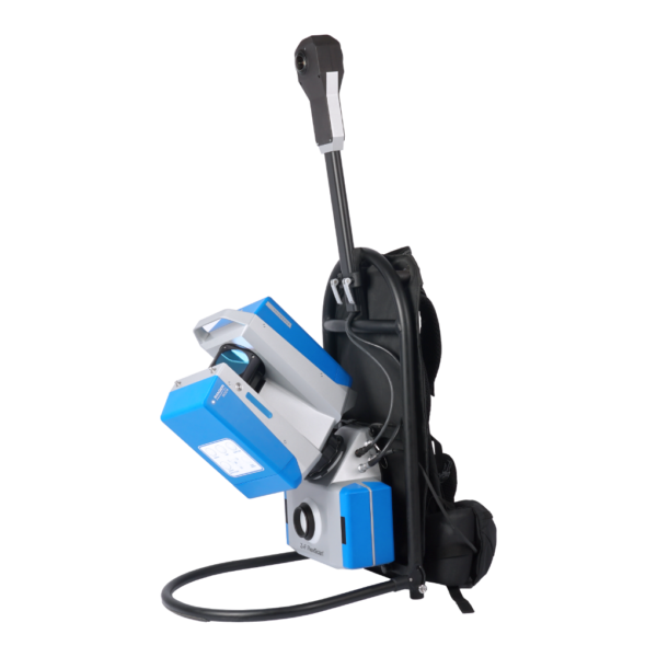
The system is also prepared for mobile mapping applications, extending its use beyond conventional static terrestrial laser scanning. Pasted text
Key Features
- Broad measurement range from 0.5 m up to 1000 m
- 5-second scan time for low-resolution overview scans
- 30-second scan time for 6 mm resolution at 10 m
- Up to 60 scan positions per hour with image acquisition
- 3D position accuracy up to 3 mm at 50 m
- Laser pulse repetition rate of up to 2.2 MHz
- Scan speed of up to 420 lines/sec
- Laser Class 1 eye-safe operation
- Precise real-time on-board registration
- Integrated cameras
- Integrated GNSS receiver
- Optional external RIEGL GNSS RTK receiver
- Optional external system camera or panorama camera
- Approximate scanner weight of 6 kg / 13 lbs
- Prepared for mobile use Pasted text
Fast Data Acquisition
The RIEGL VZ-600i is designed for productive terrestrial scanning workflows. A low-resolution overview scan can be completed in approximately 5 seconds, while a scan with 6 mm point spacing at 10 m takes approximately 30 seconds.
According to RIEGL, the system supports 60 scan positions per hour with image acquisition, combined with real-time registration. Pasted text
Measurement Performance
The scanner provides 3D position accuracy of 3 mm at 50 m and 5 mm at 100 m across the PRR configurations listed in the supplied technical overview. Pasted text
Its available PRR settings provide different combinations of maximum range, minimum range, and number of detectable targets per pulse.
Technical Data Overview
| Specification | 2200 kHz | 1200 kHz | 600 kHz | 140 kHz |
|---|---|---|---|---|
| Max. Measuring Range (ρ ≥ 90%) | 220 m | 320 m | 420 m | 1000 m |
| Max. Measuring Range (ρ ≥ 20%) | 100 m | 150 m | 200 m | 450 m |
| Minimum Range | 0.5 m | 0.5 m | 0.5 m | 1 m |
| Max. Number of Targets per Pulse | 5 | 10 | 15 | 15 |
| 3D Position Accuracy | 3 mm @ 50 m, 5 mm @ 100 m | 3 mm @ 50 m, 5 mm @ 100 m | 3 mm @ 50 m, 5 mm @ 100 m | 3 mm @ 50 m, 5 mm @ 100 m |
Pasted text
Imaging and GNSS
The RIEGL VZ-600i includes internal cameras and an internal GNSS receiver.
The internal cameras support optional on-board face detection and automatic facial blurring in real time before image storage.
The scanner can also be used with:
- Optional external RIEGL GNSS RTK receiver
- Optional external system camera
- Optional panorama camera Pasted text
Real-Time Registration
The scanner supports precise real-time on-board registration, helping streamline field acquisition and subsequent processing workflows. Pasted text
Main Applications
The RIEGL VZ-600i is listed by RIEGL for the following applications:
- As-Built Surveying
- Architecture & Facade Measurements
- Civil Engineering
- Building Information Modeling (BIM)
- City Modeling
- Forensics & Crash Scene Investigation
- Emergency Management Planning
- Archeology and Cultural Heritage Documentation
- Tunnel Surveying
- Forestry
- Research Pasted text
Software
RIEGL provides the following software packages for use with the RIEGL VZ-600i:
- RiSCAN PRO
- RiMINING
- RiSOLVE Pasted text
RiSCAN PRO is RIEGL’s software package for scanner operation and data processing. Different license levels and plugin module licenses can be used according to specific user requirements. Pasted text
Plugins, Apps and Libraries
RIEGL lists the following additional software components for use with the VZ-600i:
- RiPANO – for exploring projects and extracting plots in a browser
- RIEGL LIS GeoTec Plugin – for geotechnical analysis of scanned rock surfaces
- RIEGL LIS TreeAnalyzer Plugin – for automatic extraction of individual tree parameters in forestry
- RIEGL VZ-i Series App – for remote control of RIEGL VZ-i Series laser scanner systems
- RIEGL VZ-i Monitoring Apps – for real-time analysis and data processing in monitoring and mining applications
- RIEGL VZ-i Series Kinematic App – for kinematic data acquisition using the terrestrial laser scanner
- RiVLib – for developing custom software
- RDBLib – for reading and writing different types of data
- VZ-i ROS Driver – for supporting robot application development
| Weight | 13 kg |
|---|
Related products
Reviews
There are no reviews yet.