
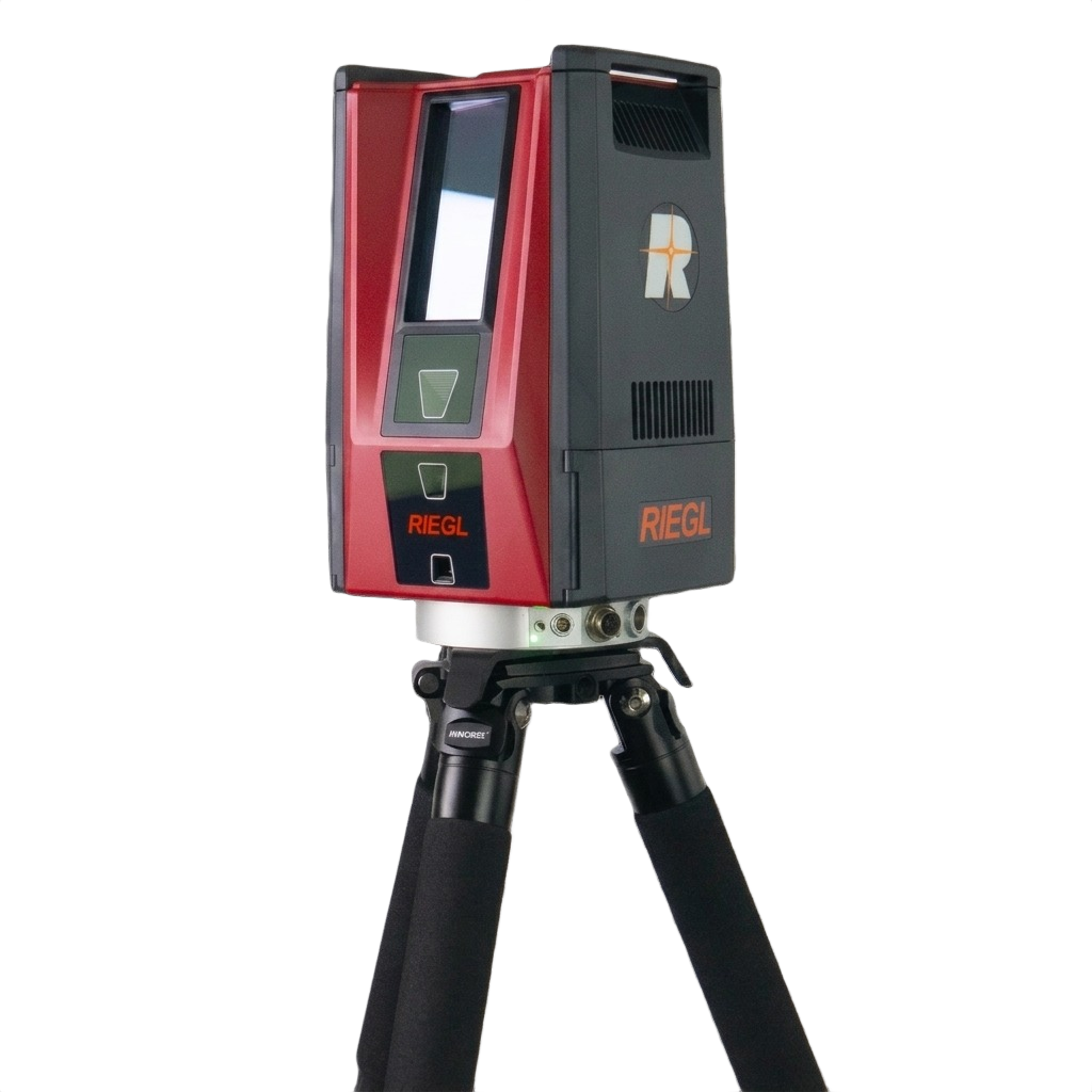
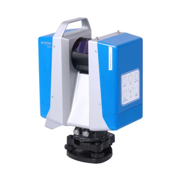
RIEGL VZ-1200i Terrestrial Laser Scanner
Price Available Upon Request
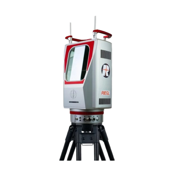
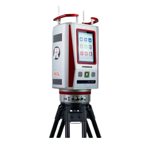
The RIEGL VZ-1200i is a terrestrial laser scanner designed for long-range, high-speed data acquisition. It supports static and kinematic operation, offers a measurement range from 0.5 m to 1800 m, pulse repetition rates up to 2.2 MHz, real-time onboard automatic registration, and includes internal cameras and a GNSS receiver in a 6 kg system.
Overview
The RIEGL VZ-1200i is a professional terrestrial laser scanner developed for users who require longer measurement range without sacrificing the speed, precision, and reliability of the RIEGL VZ-i Series.
Weighing 6 kg, the scanner offers greater range and mobility while supporting both static and kinematic data acquisition for maximum versatility, productivity, and performance.
The RIEGL VZ-1200i is a Class 1 eye-safe laser scanner that combines exceptional range with very high scanning speed. A high-resolution panoramic scan can be completed in 25 seconds in the 2.2 MHz measurement program with measuring distances of up to 450 m. In the 300 kHz measurement program, measuring ranges of up to 1800 m are possible.
The scanner supports static mode, with tripod offset approximately every 60 seconds (6 mm resolution at 10 m, including simultaneous photo capture), as well as kinematic mode on mobile platforms with RTK-GNSS accuracy.
Main Features
- Long measurement ranges at high scanning speed
- Measurement range from 0.5 m up to 1800 m
- Less than 30 seconds for a Panorama_6mm scan with more than 30 million 3D measurements and measuring range up to 450 m
- 60 scan positions per hour (with image acquisition)
- 3D position accuracy up to 3 mm at 50 m
- Pulse repetition rate up to 2.2 MHz
- Scan speed up to 420 lines/sec
- Laser Class 1 eye-safe operation
- Real-time onboard automatic registration
- Internal cameras and GNSS receiver
- Optional external system camera or panorama camera
- Weight: 6 kg
- Suitable for optional kinematic operation
Applications
- Mapping of topography and infrastructure (bridges, roads, railway lines, large construction sites, etc.)
- Recording topography and infrastructure of coastlines and ports
- Kinematic surveying from a boat
- Kinematic mapping of corridors
- Data collection in alpine regions
- Data collection at landfills and storage sites for bulk materials
- Static and kinematic data acquisition
Technical Specifications
| Specification | 2200 kHz (Standard) | 1200 kHz | 300 kHz |
|---|---|---|---|
| Laser Pulse Repetition Rate (Peak) | 2200 kHz | 1200 kHz | 300 kHz |
| Maximum Measuring Range (p ≥ 90%) | 740 m | 970 m | 1800 m |
| Maximum Measuring Range (p ≥ 20%) | 360 m | 480 m | 920 m |
| Minimum Range | 1.5 m / 0.5 m | 2 m | 2.5 m |
| Maximum Targets per Pulse | 5 | 10 | 15 |
| 3D Position Accuracy | 3 mm @ 50 m, 5 mm @ 100 m | 3 mm @ 50 m, 5 mm @ 100 m | 3 mm @ 50 m, 5 mm @ 100 m |
| Weight | 6 kg |
|---|
Related products
Reviews
There are no reviews yet.