





Set of 20 magnetic markers (targets) for FARO Freestyle 2 & photogrammetry
Price Available Upon Request
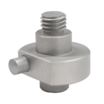
Leica Stud Adapters
Price Available Upon Request
UAV Ground Control Points with Convenient Carrying Handle
Price Available Upon Request
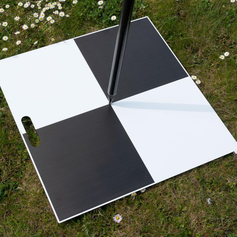
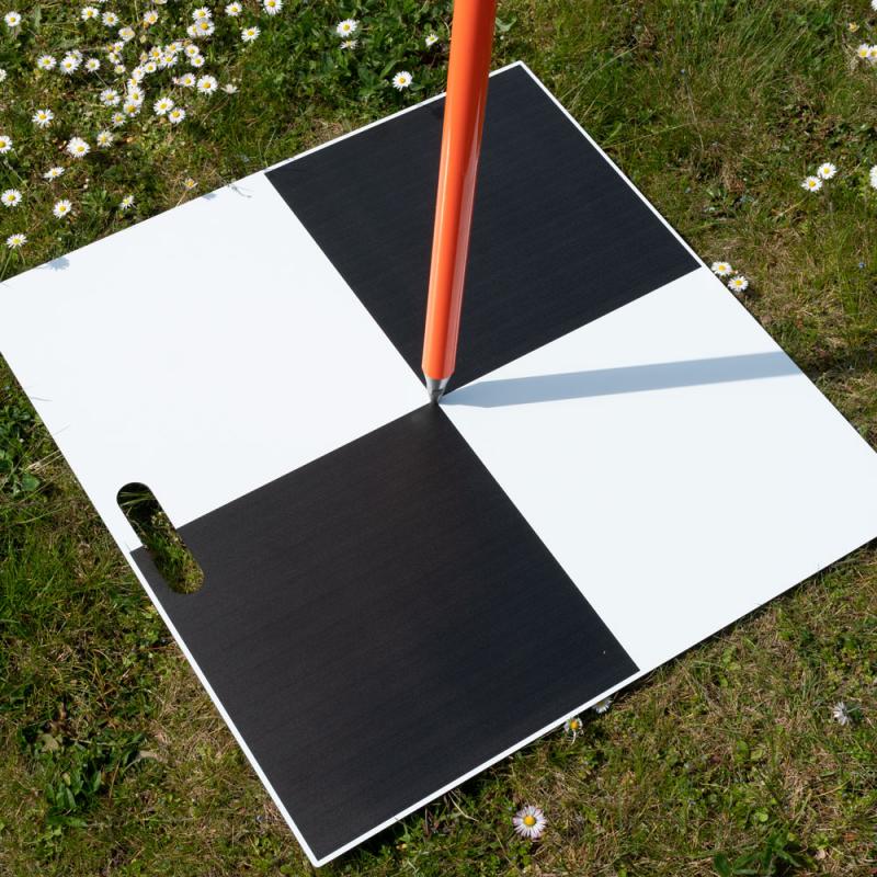
These UAV Ground Control Points are designed for photogrammetric and LiDAR surveying projects where accurate reference points are required. The markers help establish control points for drone-based and terrestrial data collection workflows and can be used in conjunction with GPS or total station measurements to support accurate georeferencing.
0
People watching this product now!
Description
Ground Control Points for Surveying Projects
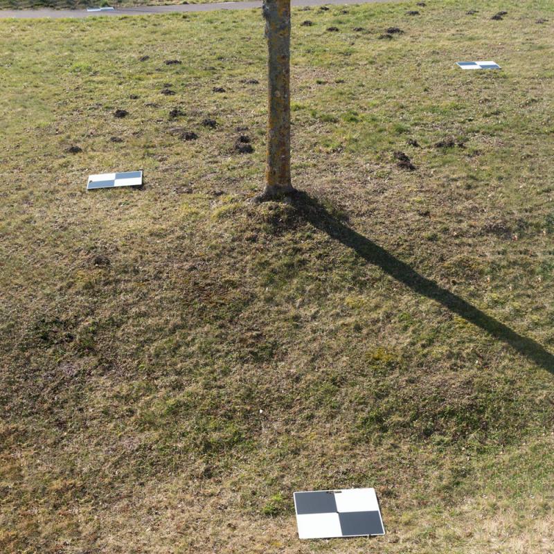
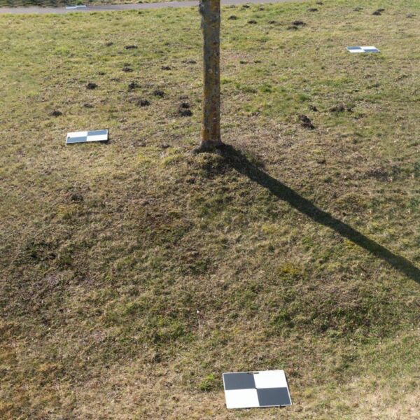
Ground control point markers are used in photogrammetric and LiDAR surveys to establish reference locations within a project area. For increased accuracy, the geocoordinates of the deployed control points can be determined using GPS or a total station.
Product Features
- Robust, reusable, and dimensionally stable target markers
- Manufactured from aluminum composite material
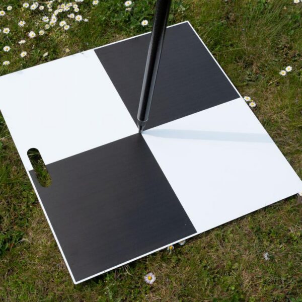
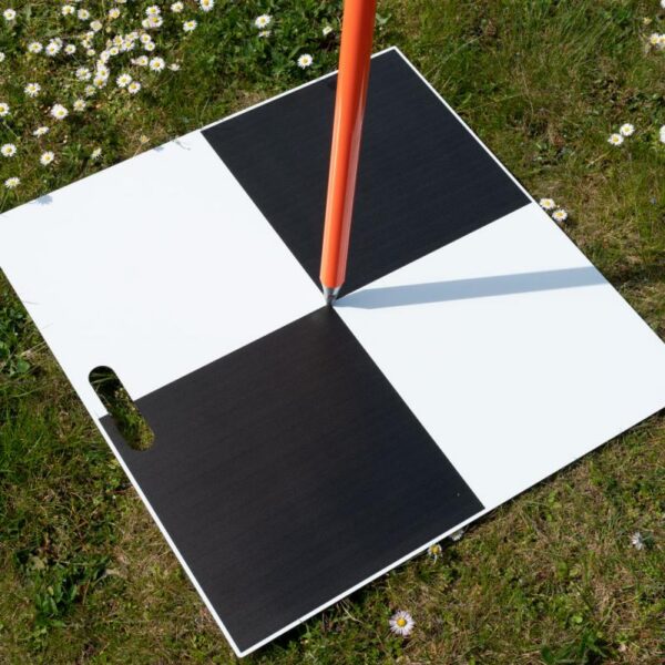
- Central bore for placement on existing fixed points
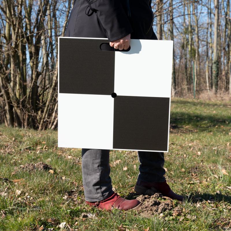
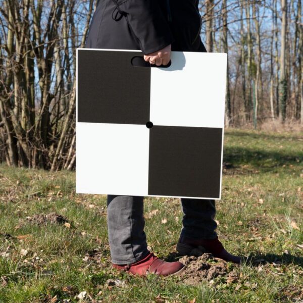
- Recessed carrying handle for convenient transport
- Suitable for repeated field use
- Designed for photogrammetric and LiDAR surveying applications
Purpose of Use
- Marking existing fixed points
- Supporting photogrammetric surveying projects
- Supporting LiDAR surveying projects
- Combining drone data with terrestrial survey data
- Providing visible control points within survey areas
Compatibility
- Suitable for all drones
- Compatible with photogrammetric software solutions
Application Areas
- Architecture and construction
- Industrial and plant engineering
- Open-pit mining
- Earth mass calculations
- Digital terrain models
- Energy and utility companies
- Urban and landscape planning
- Archaeology
- Forensics
Additional information
| Weight | N/A |
|---|---|
| Dimensions | N/A |
| Variants | 50 x 50 cm, 70 x 70 cm |
Reviews (0)
Related products


Price Available Upon Request


Price Available Upon Request

Price Available Upon Request


Price Available Upon Request


Price Available Upon Request


Price Available Upon Request


Price Available Upon Request


Price Available Upon Request
Reviews
There are no reviews yet.