
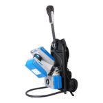
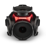
Emesent GX1 Mobile LiDAR Scanner
Price Available Upon Request
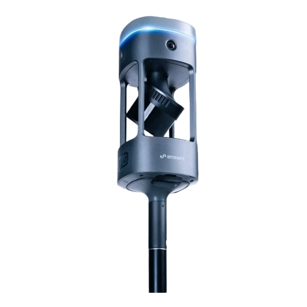
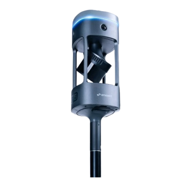
The Emesent GX1 is a mobile LiDAR scanner that combines Emesent SLAM with integrated premium RTK georeferencing to deliver 5–10 mm global accuracy. Supporting deployment on a backpack, survey pole, vehicle, or handheld, it features 4 × 20 MP cameras, a 448-channel RTK receiver, unlimited on-prem data processing, and flexible georeferencing with RTK, PPK, and user-selected targets.
Overview
The Emesent GX1 is a mobile LiDAR scanner designed to deliver mobile scanning speed with 5–10 mm global accuracy using integrated premium RTK georeferencing. It combines mobile SLAM technology with flexible deployment options, enabling reliable scanning across a wide range of environments.
The system includes rapid RTK quality monitoring, accuracy reports, and 4 × 20 MP cameras, allowing users to scan efficiently while validating accuracy and capturing professional-grade imagery.
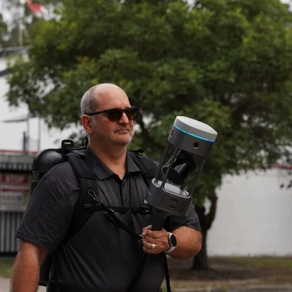
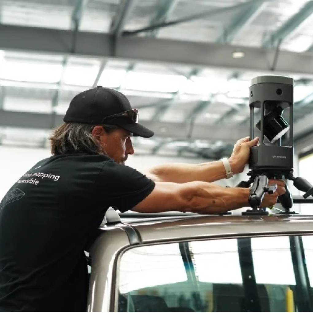
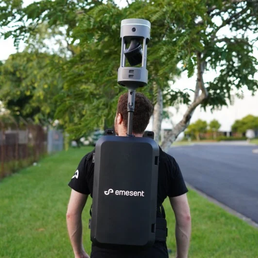
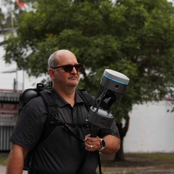
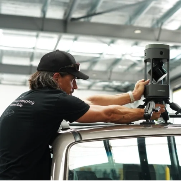
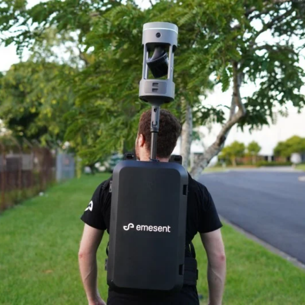
The GX1 can be deployed on a backpack, survey pole, vehicle, or handheld, making it suitable for a variety of surveying projects.
Key Features
- 5–10 mm global accuracy
- Integrated premium RTK georeferencing
- Rapid RTK quality monitoring
- Accuracy reports
- 4 × 20 MP cameras
- Backpack, survey pole, vehicle, and handheld deployment
- Integrated removable batteries
- Flexible georeferencing
- Unlimited on-prem data processing
- 360° walkthroughs in Aura Cloud
- Continuous software improvements
Accuracy
Emesent SLAM
The Emesent SLAM technology delivers less than 10 mm global accuracy for both indoor and outdoor environments. It is designed for a wide range of environments, from confined spaces to expansive outdoor sites.
The GX1 incorporates enhancements to Emesent SLAM, including:
- Enhanced accuracy
- Reduced drift
- Improved repeatability
Speed
The GX1 utilizes mobile SLAM technology and a user-driven design to reduce time spent on-site compared to traditional surveying methods.
It enables:
- Faster data capture
- Faster project turnaround
- Completion of complex scans in hours instead of days
User Experience
The GX1 integrates:
- LiDAR
- RTK
- Cameras
- Software
These components work together from data capture through validated deliverables.
The experience is extended with Aura and Aura Cloud, providing enhanced visualization, data sharing, and cloud access.
Flexible Deployment
The GX1 supports four deployment modes:
- Backpack
- Survey pole
- Vehicle mount
- Handheld harness
It also provides flexible georeferencing options:
- Integrated RTK
- PPK
- User-selected targets
- Check points in post-processing
Integrated RTK
The integrated 448-channel RTK receiver provides:
| Specification | Value |
|---|---|
| Horizontal Accuracy | 0.6 cm + 0.5 ppm |
| Vertical Accuracy | 1 cm + 0.5 ppm |
The receiver supports real-time monitoring through the Commander app and also supports PPK processing.
Camera System
The GX1 includes 4 × 20 MP cameras providing:
- 360° horizontal coverage
- 284° vertical coverage
- Automated people masking
- 360° panoramas
Processing
The GX1 supports:
- Unlimited on-premise dataset processing
- No per-scan charges
- No cloud processing costs
- Concurrent user licensing
Workflow
The GX1 ecosystem includes:
- Commander for in-field scan monitoring
- Aura for point cloud processing
- Aura Cloud
- Technical support
- Integrations with platforms such as Revit
- Continuous software updates and optimizations
Related products
Reviews
There are no reviews yet.