
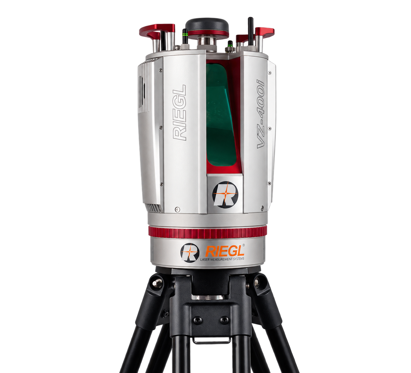
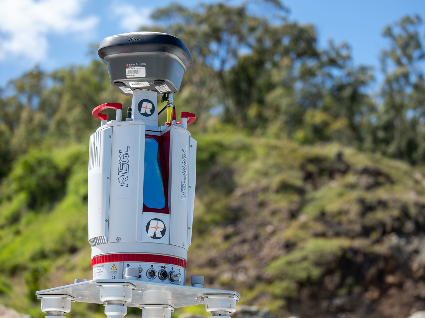
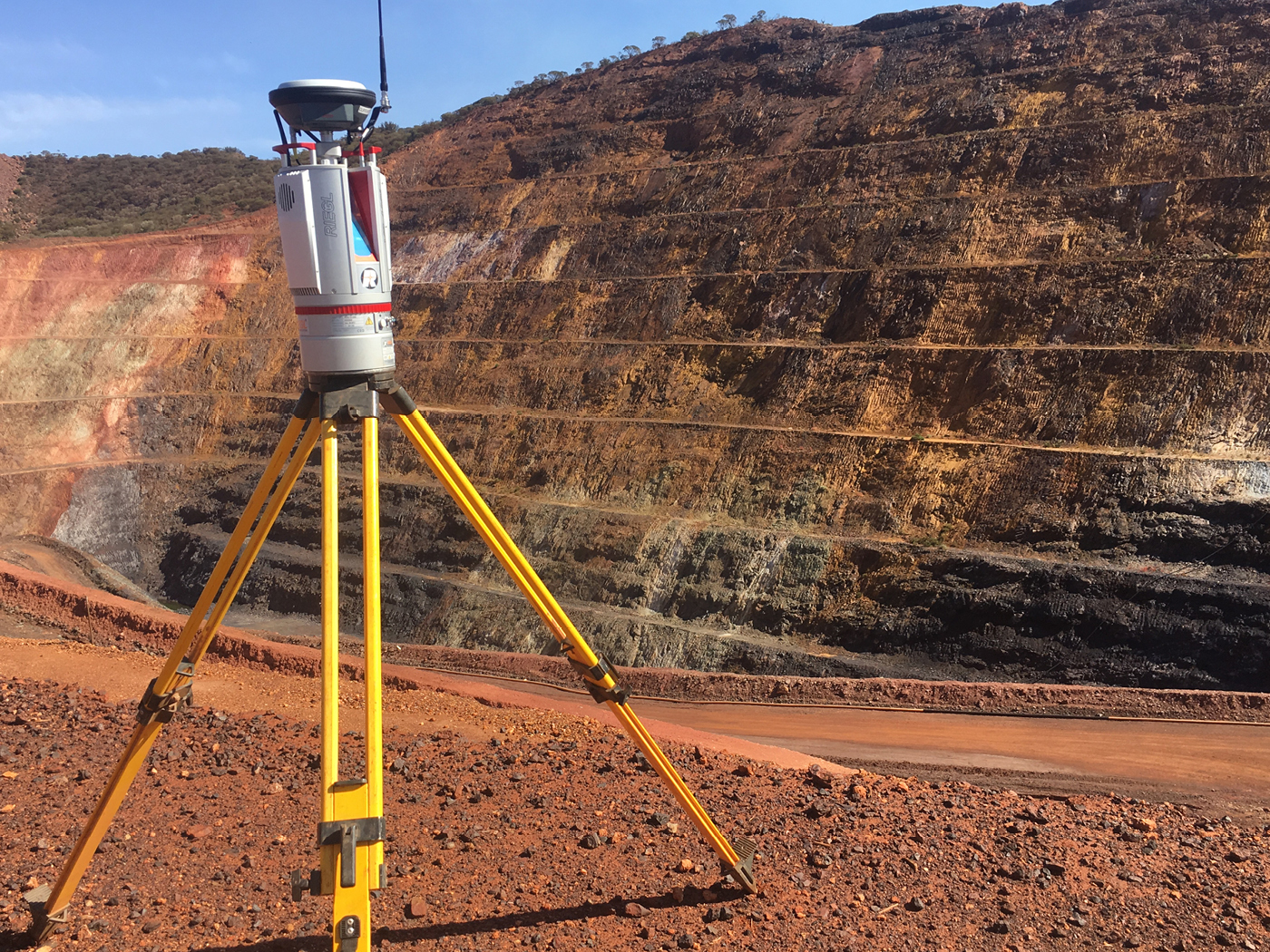
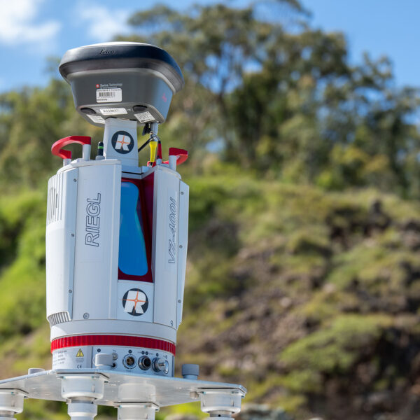
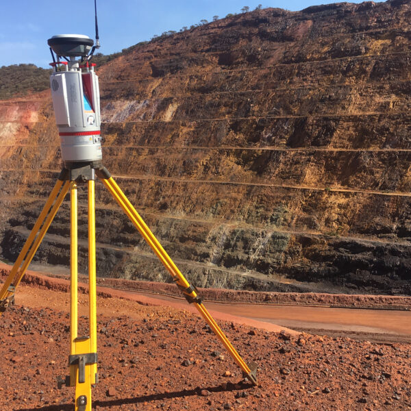
RIEGL VZ-400i High Performance 3D Laser Scanner
Price Available Upon Request
The RIEGL VZ-400i is a high-performance terrestrial 3D laser scanner offering a measuring range of up to 800 m, laser pulse repetition rates up to 1.2 MHz, and data acquisition rates up to 500,000 measurements/sec. It combines automatic on-board registration, real-time geo-referencing, integrated IMU and GNSS, multiple-target capability, and cloud connectivity through Wi-Fi and 3G/4G LTE.
Product Overview
The RIEGL VZ-400i is a high-performance terrestrial 3D laser scanning system combining an advanced processing architecture, internet connectivity, and RIEGL’s waveform processing LiDAR technology.
Its dual-processing architecture enables scan-data and image-data acquisition, waveform processing, and system operation to run alongside automatic on-board registration, geo-referencing, and analysis. This allows several processing tasks to be executed in parallel during data acquisition.
The system also includes integrated 3G/4G LTE, Wi-Fi, and Ethernet connectivity, along with an orientation sensor incorporating a MEMS IMU, compass, and barometer.
Key Features
- Laser pulse repetition rate up to 1.2 MHz
- Data acquisition rate up to 500,000 measurements/sec
- Maximum measuring range up to 800 m
- Laser Class 1 eye-safe operation
- Wide 100° × 360° field of view
- 3D position accuracy of 3 mm at 50 m and 5 mm at 100 m
- High-accuracy and high-precision ranging based on:
- Echo digitization
- Online waveform processing
- Multiple-time-around processing
- Automatic on-board registration
- Simultaneous image and scan data acquisition
- Real-time geo-referencing
- Integrated IMU
- Integrated GNSS receiver
- Multiple-target capability
- Optional waveform data output
- User-developed applications via Python
- Cloud connectivity through Wi-Fi and 3G/4G LTE
- Support for external peripherals and accessories through integrated USB ports and mounting points
Dual Processing Architecture
The RIEGL VZ-400i uses two dedicated processing platforms.
One processing system handles:
- Simultaneous scan-data acquisition
- Image-data acquisition
- Waveform processing
- General system operation
A second processing platform allows the following tasks to run in parallel:
- Automatic on-board registration
- Geo-referencing
- Analysis
This architecture supports a continuous real-time data workflow during field acquisition.
Connectivity
The VZ-400i incorporates multiple communication options for connected field operation:
- 3G/4G LTE modem
- Wi-Fi
- Ethernet
- Integrated USB ports for compatible external peripherals
Cloud connectivity is supported through Wi-Fi and 3G/4G LTE.
Integrated Orientation and Positioning
The system includes an integrated orientation sensor consisting of:
- MEMS IMU
- Compass
- Barometer
An integrated GNSS receiver is also provided.
The IMU supports pose estimation and kinematic data acquisition.
Technical Data Overview
| Specification | 100 kHz | 300 kHz | 600 kHz | 1200 kHz |
|---|---|---|---|---|
| Laser Pulse Repetition Rate PRR (peak) | 100 kHz | 300 kHz | 600 kHz | 1200 kHz |
| Max. Measuring Range (ρ ≥ 90%) | 800 m | 480 m | 350 m | 250 m |
| Max. Measuring Range (ρ ≥ 20%) | 400 m | 230 m | 160 m | 120 m |
| Minimum Range | 1.5 m | 1.2 m | 0.5 m | 0.5 m |
| Max. Number of Targets per Pulse | 15 | 15 | 8 | 4 |
| 3D Position Accuracy | 3 mm @ 50 m, 5 mm @ 100 m | 3 mm @ 50 m, 5 mm @ 100 m | 3 mm @ 50 m, 5 mm @ 100 m | 3 mm @ 50 m, 5 mm @ 100 m |
Main Applications
The RIEGL VZ-400i is intended for applications including:
- As-Built Surveying
- Architecture & Facade Measurements
- Archeology & Cultural Heritage
- Building Information Modeling (BIM)
- Forensics & Crash Scene Investigation
- City Modeling
- Tunnel Surveying
- Civil Engineering
- Forestry
- Research
- Monitoring
Software
RIEGL provides the following software packages for the RIEGL VZ-400i:
- RiSCAN PRO
- RiMINING
- RiSOLVE
RiSCAN PRO supports scanner operation and data processing, with different license levels and plugin module licenses available to adapt the software to specific user requirements.
Plugins, Apps and Libraries
The following additional software components are listed for use with the RIEGL VZ-400i:
- RiPANO – for exploring projects and extracting plots in a browser
- RIEGL LIS GeoTec Plugin – for geotechnical analysis of scanned rock surfaces
- RIEGL LIS TreeAnalyzer Plugin – for automatic extraction of individual tree parameters in forestry
- RIEGL VZ-i Series App – for remote control of RIEGL VZ-i Series scanners
- RIEGL VZ-i Monitoring Apps – for real-time analysis and data processing in monitoring and mining applications
- RIEGL VZ-i Series Kinematic App – for kinematic data acquisition
- RiVLib – for developing custom software
- RDBLib – for reading and writing different types of data
- VZ-i ROS Driver – for supporting robot application development
Related products
Reviews
There are no reviews yet.