
RIEGL VMY-1 Mobile Mapping System
Price Available Upon Request
The RIEGL VMY-1 is a compact single-scanner mobile mapping system built around the RIEGL miniVUX-HA LiDAR sensor. It provides up to 270 m range, 5 mm accuracy, 4 mm precision, pulse repetition rates up to 300 kHz, and a 360° field of view, with optional integration of up to four cameras and support for smaller mobile platforms and rapid UAV redeployment.
Product Overview
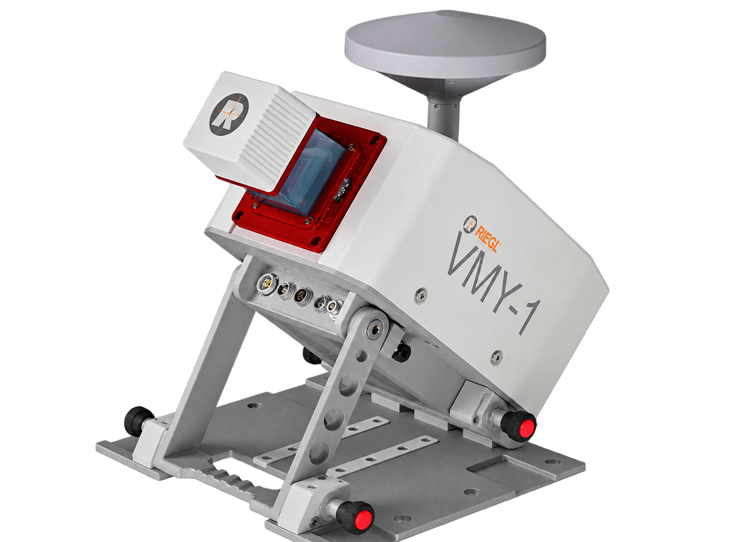
The RIEGL VMY-1 is an extremely compact single-scanner mobile mapping system designed for a range of basic mobile mapping applications.
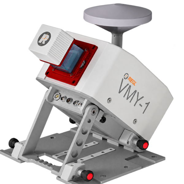
At the core of the system is the RIEGL miniVUX-HA LiDAR sensor, complemented by an optional high-performance imaging system. Its compact design allows the system to be folded for easier transport and space-saving storage.
The VMY-1 can be operated through an interface accessible via laptop, while RIEGL data acquisition software provides real-time visualization of acquired scan data and imagery. The system is also designed for rapid redeployment onto a UAV within minutes.
Key Features
- 4 mm precision
- 5 mm accuracy
- Laser pulse repetition rate of up to 300 kHz
- Up to 150 scan lines per second
- Maximum range up to 270 m
- Laser Class 1 eye-safe operation
- 360° field of view
- Multiple target capability
- Optional integration of up to four cameras
- Compact, foldable system design
- Designed for use with smaller mobile platforms
- Ready for rapid redeployment on a UAV
Mobile Mapping Configuration
The RIEGL VMY-1 uses the RIEGL miniVUX-HA LiDAR sensor as its central scanning component.
An optional high-performance imaging system can be integrated to complement the LiDAR measurement data. The system supports the optional integration of up to four cameras.
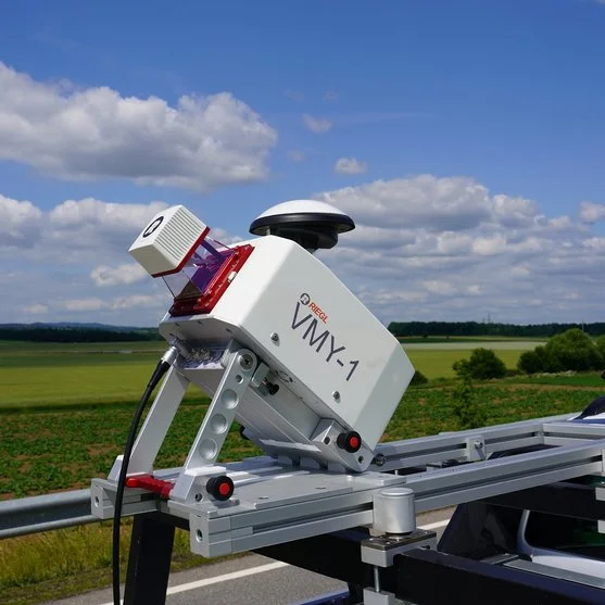
Its compact format makes it suitable for installation on smaller mobile platforms including:
- Boats
- Bikes
- All-terrain vehicles
The system can also be redeployed onto a UAV within minutes.
Scanner Performance
The VMY-1 provides survey-grade scanner performance with 5 mm accuracy and 4 mm precision.
It supports laser pulse repetition rates up to 300 kHz, scan rates up to 150 scan lines per second, and multiple target detection.
Technical Data Overview
| Specification | 100 kHz | 200 kHz | 300 kHz |
|---|---|---|---|
| Effective Measurement Rate | 100 kHz | 200 kHz | 300 kHz |
| Max. Range, Target Reflectivity (ρ ≥ 80%) | 270 m | 240 m | 200 m |
| Max. Range, Target Reflectivity (ρ ≥ 60%) | 240 m | 210 m | 170 m |
| Max. Range, Target Reflectivity (ρ ≥ 20%) | 140 m | 120 m | 100 m |
| Minimum Range | 1 m | 1 m | 1 m |
| Max. Number of Targets per Pulse | 5 | 5 | 5 |
| Accuracy / Precision | 5 mm / 4 mm | 5 mm / 4 mm | 5 mm / 4 mm |
Applications
The RIEGL VMY-1 is intended for mobile mapping applications including:
- GIS Mapping and Asset Management
- Transportation Infrastructure Mapping
- HD Mapping for Autonomous Vehicles
- City Modeling
- Rapid Capture of Construction Sites and Bulk Material
- Open-Pit Mine Surveying
- As-Built Surveying
The manufacturer also identifies the system as particularly suitable for asset management, utility mapping, and mobile mapping projects using smaller platforms.
Software
RIEGL provides the following software packages for the RIEGL VMY-1:
- RiPROCESS
- RiACQUIRE
- RiUNITE
These software packages are complemented by:
- RiVLib
- RDBLib
- RiMAP Plugin for ArcGIS
Field Operation
The VMY-1 provides an interface accessible through a laptop, while RIEGL data acquisition software supports the operator in the field with real-time visualization of scan data and imagery.
The system’s foldable construction also supports convenient transport and compact storage between deployments.
Related products
Reviews
There are no reviews yet.